I have started geotagging my pictures. Geotagging means that the picture has latitude and longitude information stored with the picture. I have also started a web page with some geotagged pictures. If you go here......http://www.locr.com/profile/somewhereinusa
and click on a thumbnail it will show the picture along with where I was when I took the picture. Waaaaaaay cool.
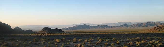
I love mountains in the distance when all you can see is different layers of blue.
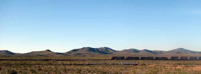
Another of distant mountains with train.
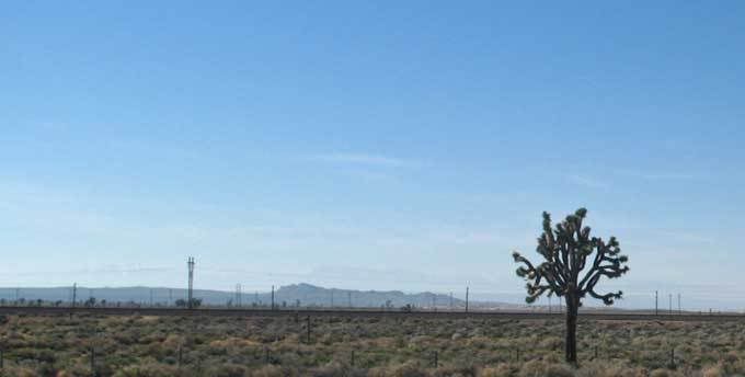
Joshua tree.
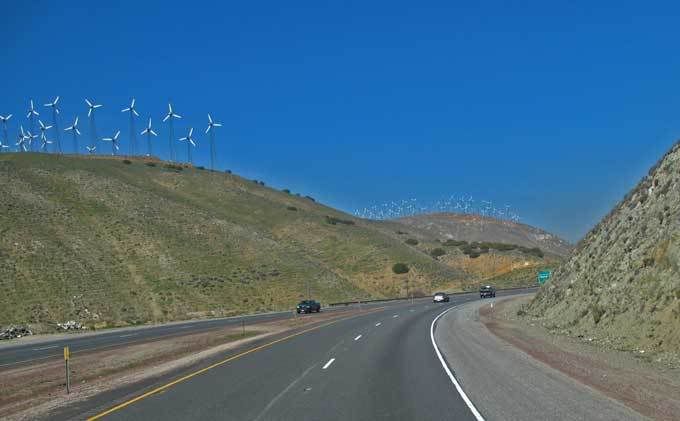
Tehachapi Pass windmills.
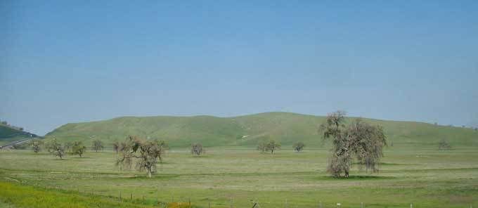
Tejon ranch. 270,000 acres.
Dick & Kate


1 comment:
Like the wind farm picture, a sort of modern forest :-)
Post a Comment