Another reason is it is really hard to get pictures from the highway, the only thing that changes is the kind of trees.
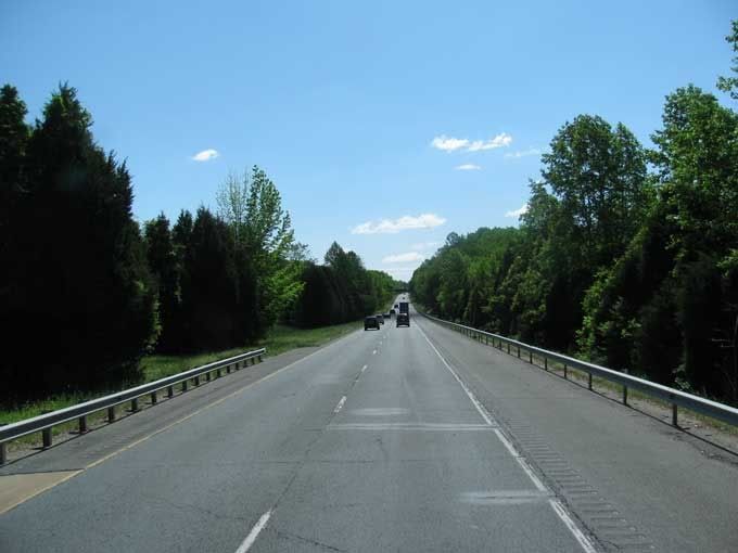
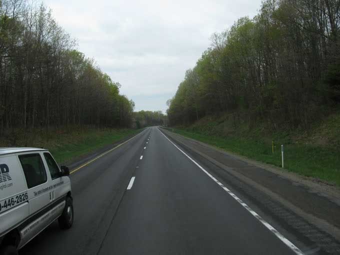
Virginia
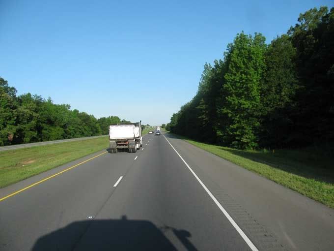
Tennessee

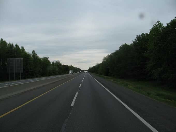
New Jersey
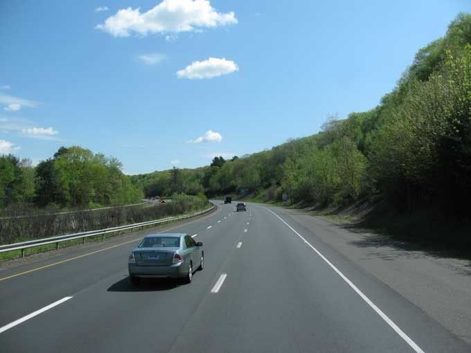
Connecticut
Connecticut going the other way.
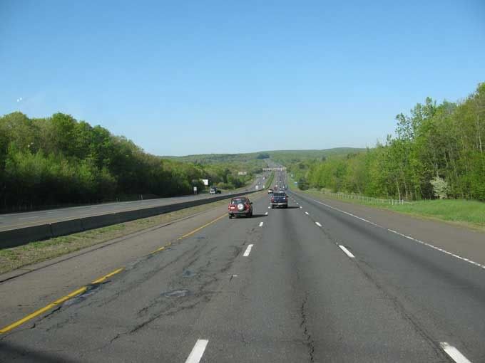
Pennsylvania
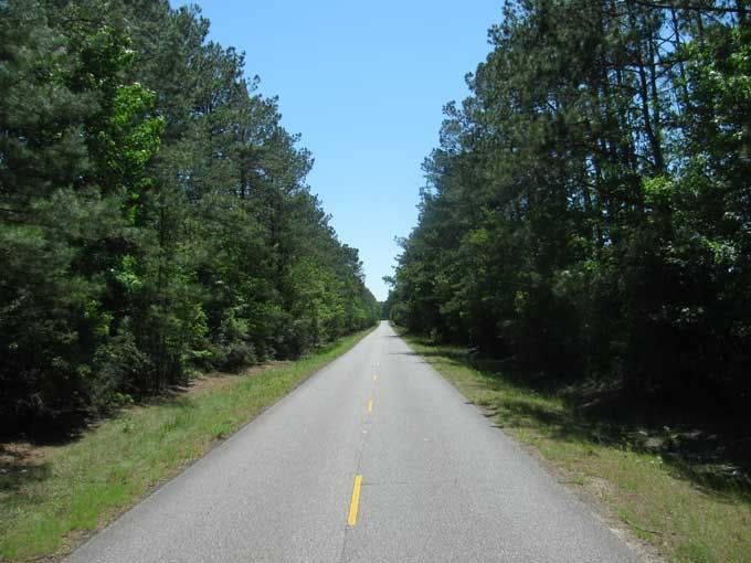
Arkansas
Here the view changes in Arkansas, there are trees in between the lanes.

Louisiana. This is a two lane highway.
This is what happens when you tell your GPS to avoid toll roads. It adds about 3200 miles to the trip. Actual distance from start to end should have been about 576 miles.
I would like to avoid tolls since they were about $200 from Richmond, VA until I got out of Massachusetts, two days later.

Dick,Kate & Molly


2 comments:
This post was funny! Thank you for sharing the ever changing scenery of the highway!
More great pictures, I can understand you wanting to miss the tolls they sound expensive!
Wizz :-)
Post a Comment